Feature available in: ADVANCED PLAN
With smappen, you can export the administrative coverage of all the zones of your map into a single Excel file.
1. Open the right-hand panel under “ZIP codes” (or “Postcodes” for the UK)

2. In the area selector menu at the top, choose your map.
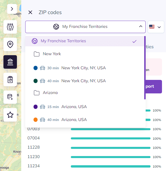
Note: If you haven’t renamed your map, it will be called “My map.” Otherwise, choose the name, for example, “My Franchise Territories.”
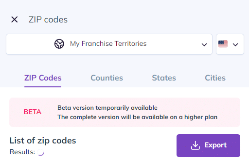
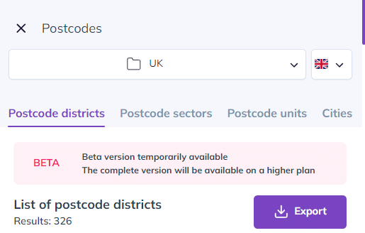
3. Then select the information you need and download the file by clicking on “Export.”
Options available for the US:
Options available for the UK:
Data available in the exported Excel file
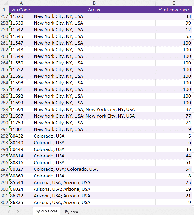
The downloaded Excel file is made of two tabs:
Tab 1: Administrative coverage for all areas on your map
For example, if you chose to extract ZIP Codes / Postcodes for all zones on your map, you will get:
– Column A: All the ZIP Codes / Postcodes covered by the areas on your map
– Column B: The area linked to this code
– Column C: The percentage of area coverage on this code
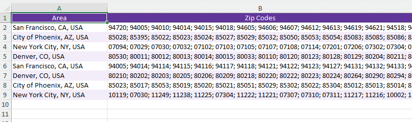
Tab 2: Administrative coverage for each area on the map.
For example, if you chose ZIP Codes / Postcodes, you will get, for each zone, the list of codes covered.
Download our sample files here: